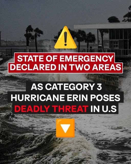
All eyes are on Hurricane Erin as it continues its path through the Atlantic Ocean. This storm is a classic example of why you should never focus solely on the category number. Although it has weakened from its Category 5 status to a Category 3, it has simultaneously grown larger and more organized, making it a significant threat. With sustained winds of 125 mph and a forward speed of 13 mph, Erin is a formidable system. The National Hurricane Center has been emphatic in its warnings, stressing that the dangers of this hurricane extend hundreds of miles from its center, with tropical-storm-force winds reaching over 200 miles outward.
The immediate meteorological impacts are already unfolding. The outer bands of the storm are lashing Puerto Rico and the Turks and Caicos with heavy rainfall, with forecasts calling for additional accumulations that pose a serious risk of flash flooding and landslides. But the reach of this storm is what truly sets it apart. The immense wind field is generating massive ocean swells that are radiating outward, creating extremely dangerous surf and rip current conditions for a huge portion of the western Atlantic. This means that even beaches far from the storm’s center will be treacherous for swimming and surfing in the days ahead.
For those living along the U.S. East Coast, the message is to stay vigilant. While the forecast track keeps the core of Erin offshore, its expanding size means widespread indirect impacts are inevitable. Coastal areas from the Carolinas to Massachusetts are being told to prepare for significant beach erosion, coastal flooding, and powerful waves. The exact severity for specific locations hinges on whether the storm begins its anticipated northward turn exactly when predicted. Any delay in this turn could bring the stronger side of the storm closer to the coast, escalating the potential for damage.
This looming threat has not been taken lightly by local officials. Counties in North Carolina, remembering the recent brush with Tropical Storm Chantal, have not waited to act. Mandatory evacuation orders are in place for the barrier islands, including Hatteras and Ocracoke. The concern is that the combination of storm surge and massive waves will overwash the islands, cutting off the only highway and isolating communities. This proactive decision underscores the serious nature of Erin’s offshore threat and serves as a crucial reminder for everyone in the storm’s potential reach to review their emergency plans, know their evacuation routes, and stay tuned to official forecasts for updates.